The Douglas County Open Space Plan provides shared vision and guidance for conservation, collaboration, and enhanced access to natural and heritage resources in unincorporated Douglas County.

The Douglas County Open Space Plan
- Identifies the County’s diverse land assets, resources, and existing protected open spaces
- Establishes Conservation Criteria to recognize and evaluate landscapes and ecosystems as conservation priorities
- Recommends program models, tools, and policies to enable more opportunities for Open Space protection in Douglas County
- Outlines opportunities for the County to leverage staff roles, resources, and partnerships to realize the Plan’s goals
Interactive Story Map
To read more about the Plan's guiding values, community development and conservation considerations, view our interactive Story Map.
The Open Space Plan in Action
Among the community’s diverse cultural and ecological leadership, the County strives to serve as a convener, assembling resources and supporting partnerships toward a shared conservation vision.
In addition to elevating the work of others, Douglas County has identified three immediate action areas with which to launch Plan implementation. The following focus areas are being carried out through American Rescue Plan Act funding allocated in 2022 by the Board of County Commissioners toward the implementation of priorities that would be identified in the Open Space Plan.
County Park Improvements and Enhancements

By enhancing existing public open spaces, the County seeks to increase awareness and access, and foster stewardship, of open lands and cultural sites.
Lone Star Lake Park: Appreciating Recreation and Acknowledging History
County-owned Lone Star Lake Park is 422 acres, encompassing a 185-acre lake. The park features a campground at the site of the former Civilian Conservation Corps (CCC) camp, which was used by the CCC in the 1930’s when they constructed the lake by damming Washington Creek. The park contains remnants of this history, but the primary draw is its recreational amenities for picnicking, swimming, boating, fishing, camping, and play.
Beginning in 2024 and into 2025, Douglas County Public Works is constructing and implementing several site improvements and repairs that aim to increase inclusive access and enhance appreciation of this much visited park. These include:
- Introducing an ADA accessible kayak launch
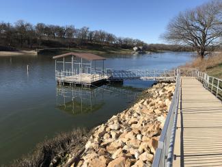
- Replacing the fishing dock at the Community Building and swimming dock at the beach
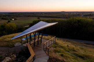
- Constructing new shelters for the east and west shores of the lake
- Adding a new vault restroom facility to the west shore, to accommodate boaters and increased public visitors to the park
- Replacing aged picnic tables and fire rings at the campground
- Developing and placing new historical context signage at notable sites in the park
The public can watch for progress through the County’s news channels and enjoy these amenities beginning in 2025.
Programmatic Support for Private Land Conservation
By enhancing access and alleviating barriers to land conservation mechanisms and resources, the County seeks to support landowners in their conservation vision, thereby increasing protection of open spaces that serve the public good.
Douglas County Land Protection Program
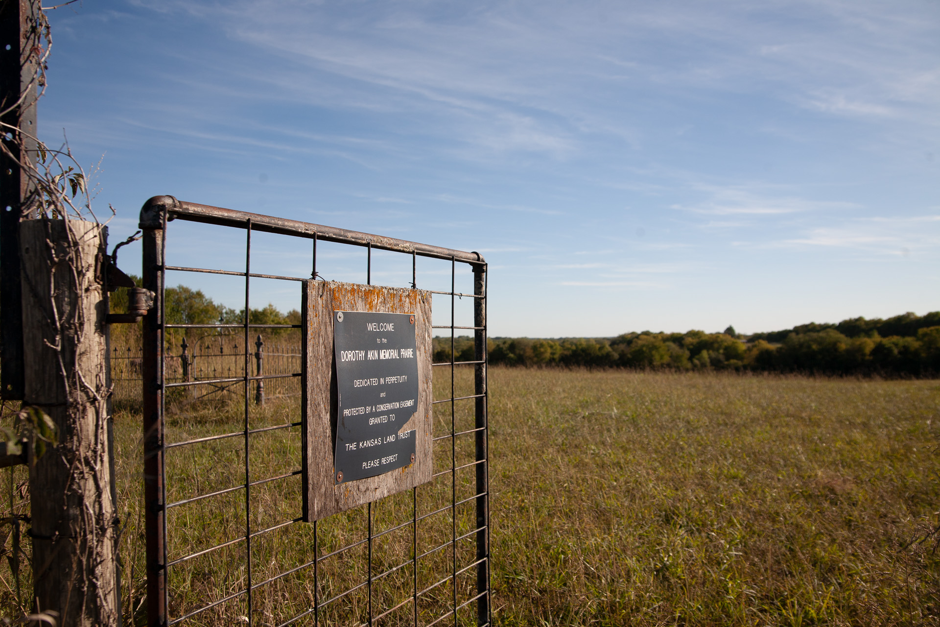
Conservation easements can protect public benefits, such as wildlife habitat, historic features, and water quality, while retaining private ownership. Through an innovative partnership, the Kansas Land Trust and Douglas County have developed the Douglas County Land Protection Program. This pilot program will promote and facilitate voluntary, permanent land conservation pathways for private landowners whose land provides significant public benefit in Douglas County.
The program will provide supplemental funding to cover administrative costs related to developing and establishing conservation easements, assuring that open land is protected in perpetuity and its benefits are shared with the public. Direct and indirect public benefits may include:
- Access for recreation, education, and cultural or aesthetic appreciation
- Public health and protection from natural hazards
- Ecological, cultural, and historical significance
- Features that attract tourism or commerce
- Avenues to greater conservation impact, such as restoration and climate resilience
The eight-week public application period has closed. Project selection will be made March 31, 2025. Visit the pilot program website to learn more.


