Geographic Information Systems
Geographic Information Systems
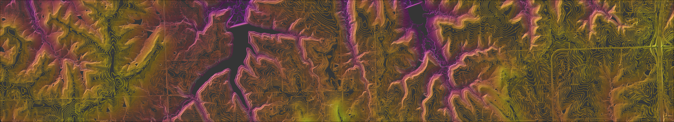
Geographic Information Systems are computer tools used to store, analyze, and visualize data.
GIS is made up of hardware, software, data, tools & methods, and people. Along with printed maps, we build web apps that allow people to answer their own questions.
Douglas County Geoportal
A one-stop shop for Douglas County GIS. Our public platform provides the opportunity to explore, discover, engage, and download data. Check out our interactive web maps, initiatives, data and items for purchase.
Frequently Asked Questions
Are the boundaries on the Property Viewer equivalent to a survey?
No. The boundaries on our viewer show taxable land from the perspective of the County Appraiser’s office. If you are trying to resolve an issue that involves the exact placement of a property line, we recommend hiring a professional surveyor to determine where your boundaries are. For more information on professional land surveyors, the Kansas Society of Land Surveyors can be a good resource.
Do you map easements in Douglas County?
Yes and no. We map easements related to roads, but no private or utility easements. If you are looking for easements in a particular area, you should check with the Register of Deeds office to find documentation in that location.
Does the measure tool on the interactive Property Viewer provide accurate property dimensions?
The measure tool is a great way to approximate distances. Ultimately, however, the map is a representation of property boundaries that cannot provide the level of precision that is available on a legal document.
How accurate are the Geographic Information Systems(GIS) property lines?
GIS staff completed a four-year in-depth review of every parcel boundary in the county. As a result of our efforts, we have one of the most accurate tax parcel representations in the entire state. That being said, there are areas throughout the county that are challenging to represent, particularly in the oldest sections of towns where modern survey-grade documentation is limited.
How can I get a map of my property?
If you want a map of your property, your best bet is to start with the interactive Property Viewer. This online map allows you to search for your property, zoom in and out to see it and its surroundings, and more. It even has a print tool that allows you to create your own maps.
How can I get a map produced by Douglas County and Geographic Information Systems (GIS)?
Start by browsing our Geoportal. If you don’t find what you need, send us an email to gis@dgcoks.gov. Many times, we have already created something that may fit your needs. Depending upon the request, there may be a charge for staff time and materials.
GIS Fee Schedule
GIS Fee Schedule
| Item | Description | Fee |
|---|---|---|
| Custom Map 24" | $5.00 base charge plus staff time | |
| Custom Map 36" | $10.00 base charge plus staff time | |
| Photo Images | Real estate (letter or ledger) | $1.00/page plus staff time |
| Photo Images | Aerial (letter or ledger) | $2.00/page plus staff time |
| All Printed and Standard Maps | e.g. township, zoning, precinct | $5.00/each |
| Ownership Maps | Large | $21.43 plus $1.57 tax |
| Ownership Maps | Medium | $14.44 plus $1.06 tax |
| Ownership Maps | Small | $7.45 plus $0.55 tax |
| Digital Mapping Data | CD, DVD, or FTP | Media cost plus staff time |
| Aerial/Ortho Photography | CD, DVD, or FTP | Media cost plus staff time |
| Staff Time | $25.00/hour, prorated by the quarter hour (1 hour minimum) |
Douglas County Courthouse
1100 Massachusetts Street
Lawrence, KS 66044
United States
Image
