Geographic Information Systems
Geographic Information Systems are computer tools used to store, analyze, and visualize data.
GIS is made up of hardware, software, data, tools & methods, and people. Along with printed maps, we build web apps that allow people to answer their own questions.

Douglas County Geoportal
A one-stop shop for Douglas County GIS. Our public platform provides the opportunity to explore, discover, engage, and download data. Check out our interactive web maps, initiatives, data and items for purchase.
Frequently Asked Questions
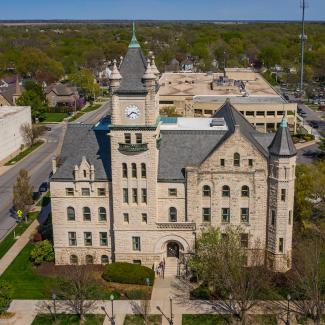
Douglas County Courthouse
1100 Massachusetts Street
Lawrence, KS 66044
Estados Unidos
Imagen

